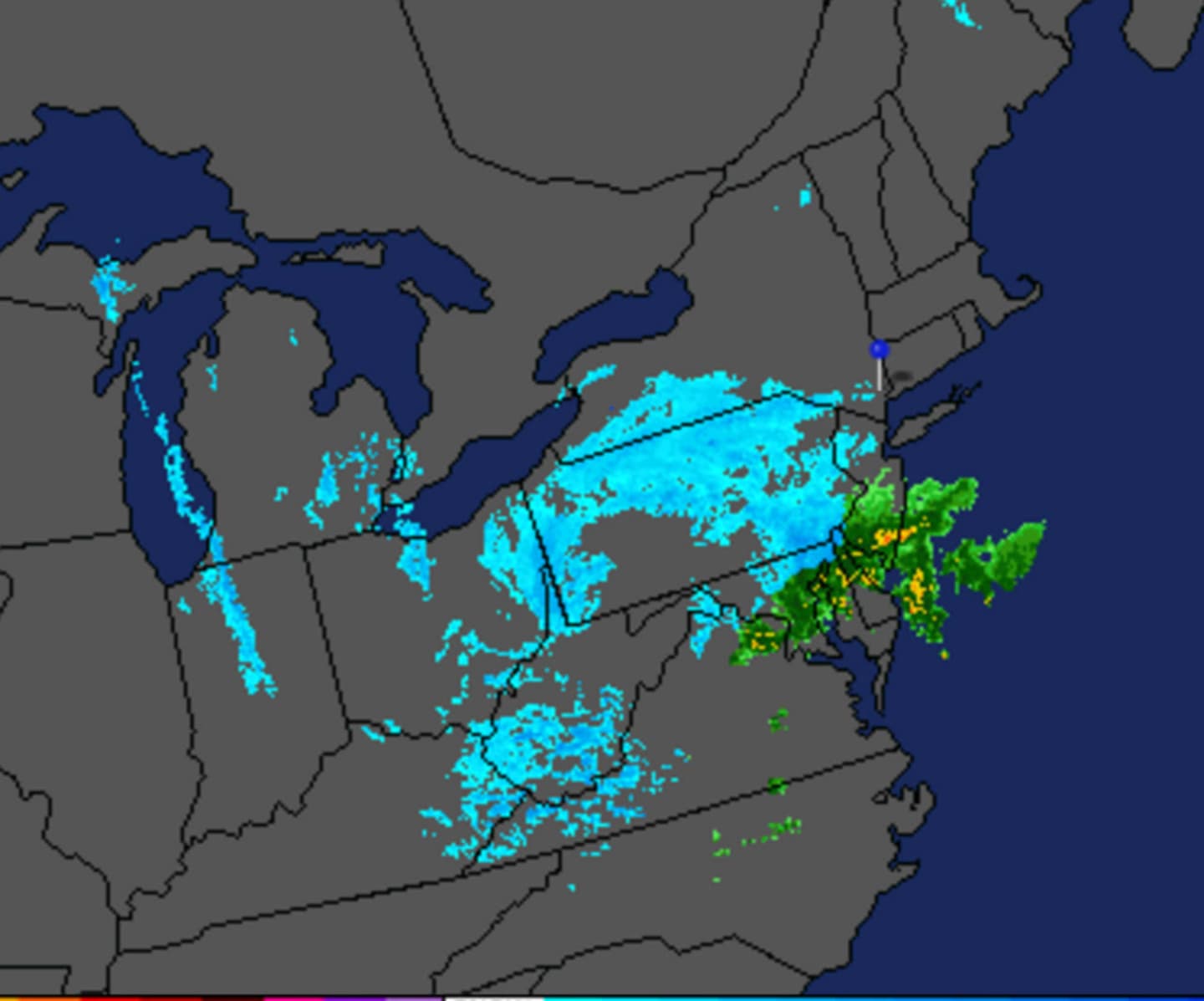
As the clouds move in, the wintry mix is likely to start in early afternoon, with a 60 percent chance of precipitation. Total daytime snow accumulation of less than a half-inch is expected, with a rain-snow mix likely, according to the National Weather Service.
With temperatures climbing to about 40 degrees during the day, roads are unlikely to be slick as a result of the wintry mix.
The precipitation should drop off into the evening, with a 30 percent chance of snow from 8 p.m. to midnight. New accumulation of a half-inch is possible.
A Freeze Warning has been issued for overnight until 10 a.m. Sunday, with low temperatures in the 20s overnight. The conditions could kill plants and sensitive vegetation, the National Weather Service said.
The sun will return Sunday, warming the high temperature to about 45 degrees. Sunday night will be mostly cloudy with lows near freezing, the Weather Service says.
More precipitation is coming Monday and Tuesday, but will be in the form of rain. Temperatures will be more seasonable, with a high of 54 Monday during the day, and near 60 on Tuesday.
But with temperatures around the freezing mark, the precipitation could start as snow Monday morning before turning to rain around 7 a.m.
The region shakes off the wintry blahs on Wednesday, forecasters say, as the sun banishes rain clouds and temperatures reach 55.
Click here to follow Daily Voice Bridgeport and receive free news updates.